Evidence-based placemaking
Wedderburn Transport Planning supports placemaking for diverse and walkable neighbourhoods. Evidence-led planning and design enables professionals and communities to articulate opportunities and constraints, and we use advanced spatial analytics to create an evidence base for masterplanning and placemaking.
Analytical tools
We assist clients on strategies to harness maximum insight from Big Data in a considered, cost-effective and responsible manner. This includes providing independent advice on the collation of local footfall and visitor catchment data at a range of scales. We have also developed Point of Interest analysis tools to create meaningful land use density and diversity metrics measured on a through-the-network basis even in complex multi-level environments.


Outcomes
- Effective benchmarking of key metrics within and between sites
- Robust testing of alternatives in relation to layout, land use mix, site access and internal circulation
- Optimised integration of sites with surrounding areas and public transport interchanges
Pedestrian Micro-Stimulation
We are recognised for international expertise in the modelling of active travel modes. We have experience of managing complex transport modelling and analysis studies for a range of highway and public transport projects, as well as in developing bespoke demand forecasting and analysis for walking, cycling and other modes.


Visibility Analysis
We employ a range of spatial analytics to understand how people navigate through indoor and outdoor spaces. Drawing on our understanding of client needs, we are adapting visibility analysis tools to generate additional insight for retail and lifestyle focused mixed use developments.
Case study metrics
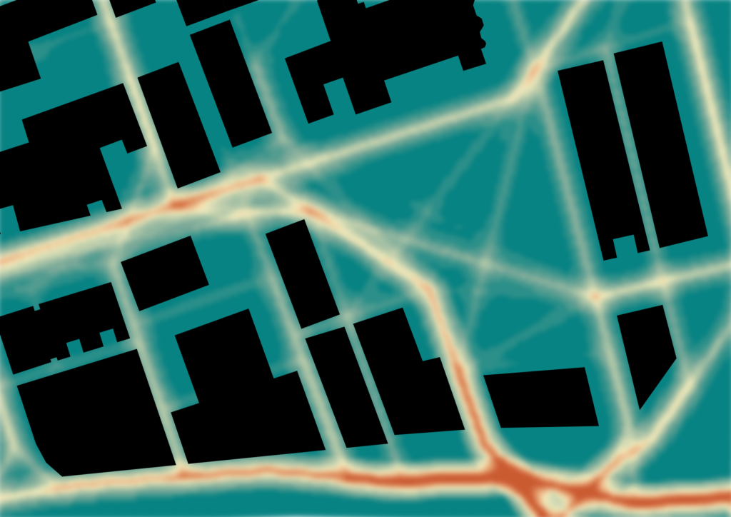
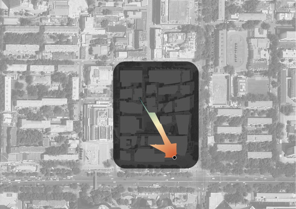
Evidence-based planning using pedestrian accessibility and visibility metrics to inform the design and curation of people-focussed places.
Case study images of Sanlitun Taikooli in Beijing, China

