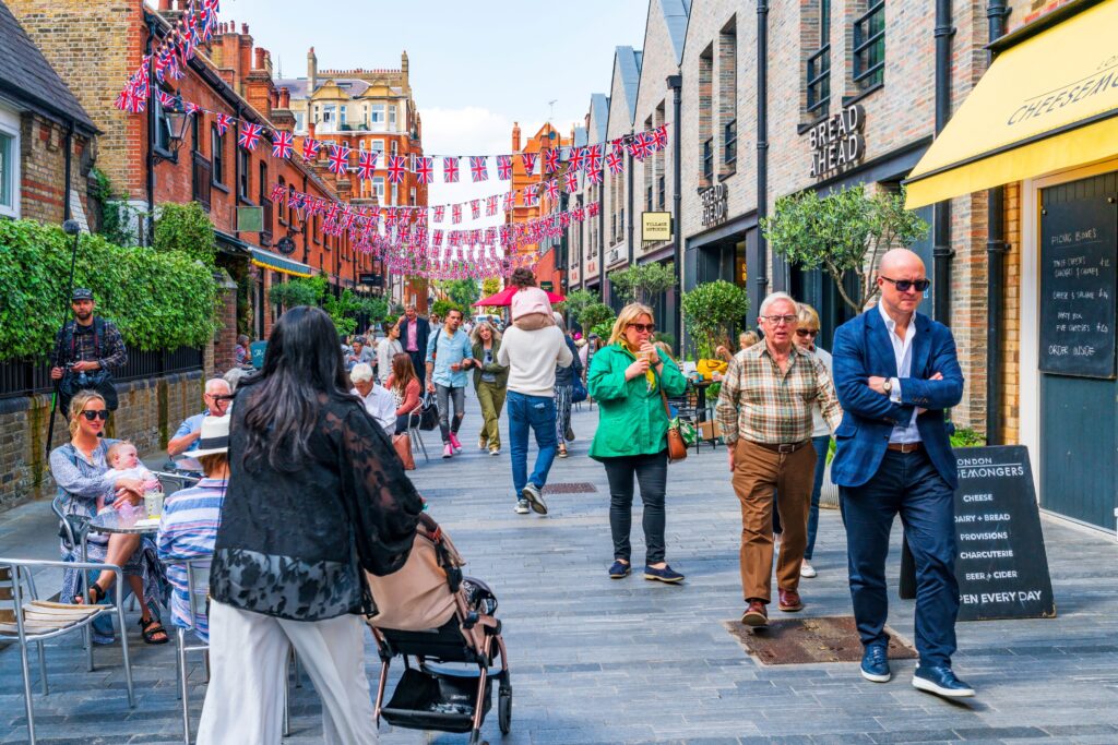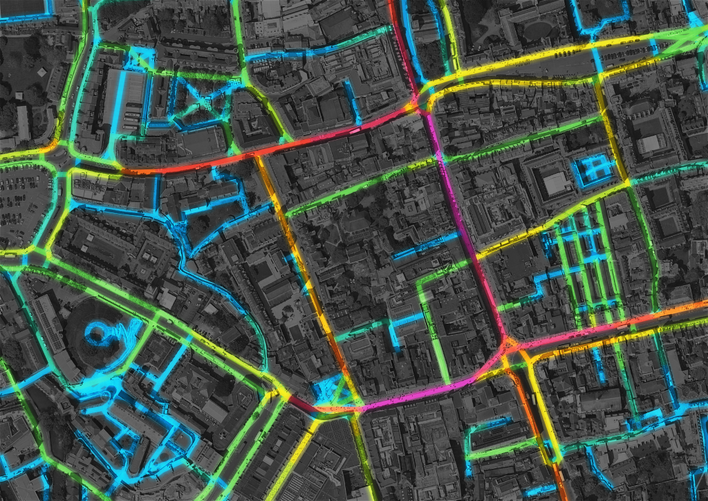
Today, footflow™ unveiled a ground-breaking new tool designed to provide local authorities, architects and urban planners with unprecedented insights into pedestrian accessibility and foot traffic patterns. footflow is an evidence-based footfall analysis and planning platform that offers comprehensive benchmarking of pedestrian accessibility at an unrivalled level of granularity.
With footflow, users can harness the power of predictive forecasting to understand how factors such as massing and land use impact pedestrian footfall. This innovative tool empowers decision-makers to make data-driven choices that enhance the walkability and overall liveability of urban environments.
“We are thrilled to introduce footflow to the UK market,” said Olumide Odetunde, lead data scientist of footflow. “Our goal is to equip local authorities, architects and planners with the tools they need to create pedestrian-friendly cities that prioritise walkability and sustainability.”
Currently, footflow is being piloted in ten local authorities across the UK, with promising early results. As the demand for walkable and liveable urban environments continues to grow, footflow aims to position itself as a leader in pedestrian analytics and planning solutions. With its cutting-edge technology and commitment to data-driven decision-making, footflow is poised to shape the future of pedestrian-centric urban design.
For more information about footflow and its capabilities, please visit footflow.com and contact the footflow team.
About footflow:
footflow™ is a tool for evidence-based footfall analysis and planning. footflow offers comprehensive benchmarking of pedestrian accessibility at an unrivalled level of granularity and enables predictive forecasts of how building massing and land use impact pedestrian footfall. We are currently testing the footflow tool in ten local authorities around the UK, including BeFirst (Barking & Dagenham), Bolton, Buckinghamshire, Cheshire West and Chester, City of London, Ealing, Hackney, and York. More announcements will follow soon. footfall is a result of a Knowledge Transfer Partnership between the Oval Partnership with its affiliate, Wedderburn Transport Planning and Loughborough University.